

Illustration for interpretation panels

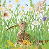


Maps and Illustration for interpretation at National Parks, nature reserves, historic sites and gardens.
Maps break down into:
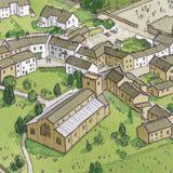
1) 3d oblique aerial views
(where you look down at a site from an angle, allowing better depiction of the 3 dimensional structure of the site, sides of buildings etc).
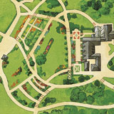
2) Bird's eye aerial illustrations (ie as if looking directly down at a site)
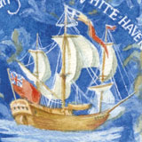
3) Quirky/fun llustrated maps.
I also own a large library of existing bird's-eye aerial maps of National Parks in Great Britain (originally created by me for BBC Countryfile Magazine). Please contact me if you'd like to use one/them.
As I'm a graphic designer too, I can also design and arrange production /installation of high quality interpretation panels.