

Illustrated maps


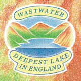

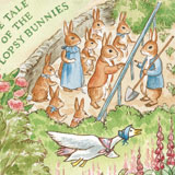
Quirky/fun Illustrated maps
Illustrated maps can convey a lot of information in a fun, attractive and accessible way.
An illustrated map can be of a geographical area or an attraction.
Or it could be a manufacturing process, a marketing concept, a special journey or event, or even a life story.
For more classic illustrated maps suitable for interpretation for National Parks, Nature Reserves, Sites of Special Scientific Interest and historic sites see here.