

Illustrated map for Western Lakes Tourism
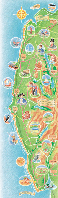
Click on the image above for a complete / enlarged view
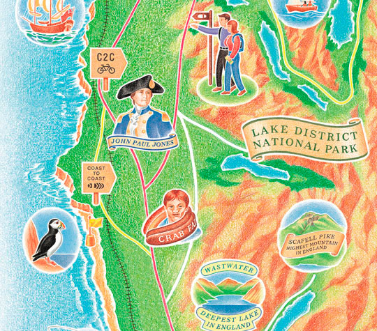
Illustrated map for Western Lakes Tourism
The design agency who commissioned this wanted an illustrated map about the attractions of the Western Lakes area of Cumbria. However their leaflet format was very long and skinny and required the area to be distorted quite dramatically while still retaining a true sense of the geographical landscape.
This crayon style produced a vibrant, colourful image, which was also enlarged onto huge exhibition panels without loss of quality.