

Birdseye illustrated maps
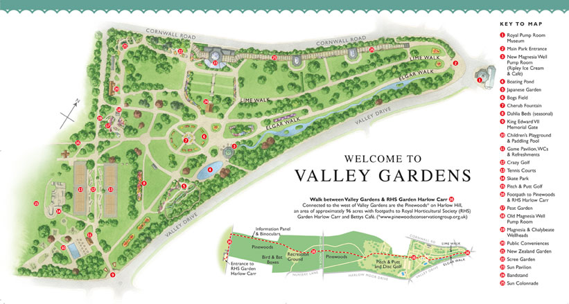
Valley Gardens, Harrogate (click here for complete image)

Brockhole, Lake District National Park
Thacka Beck Nature Reserve for Cumbria Wildlife Trust (click here for close up)
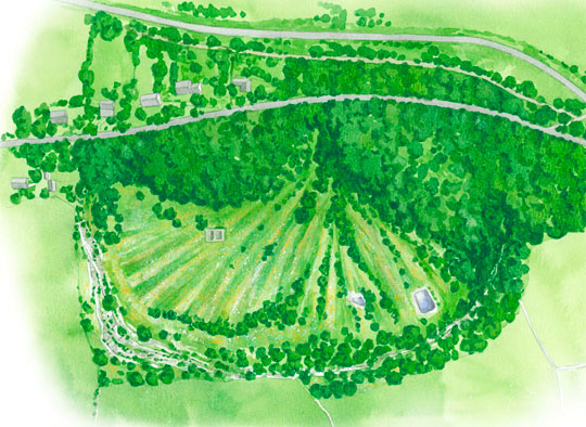
Bird's eye illustrated maps
Bird's eye aerial map illustrations for historic/heritage sites, nature reserves, school campus sites, attractions and gardens.
These look directly down on a site, so do not give as much 3-dimensional effect as a 3d oblique aerial illustration would. However, with judicious use of texture and shading, it is still possible to convey some impression of the shape of the landscape.
These are quicker, easier and therefor cheaper to create than 3d oblique aerial map illustrations.