

3d oblique aerial illustrated maps NEW
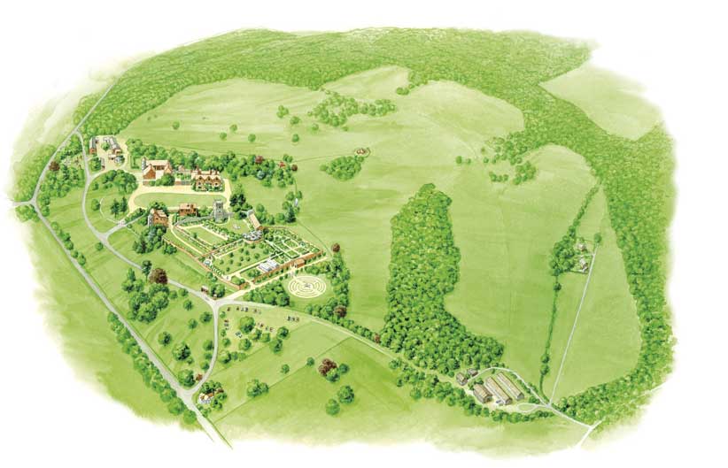
National Trust Grey's Court (detail, click here to view whole map)
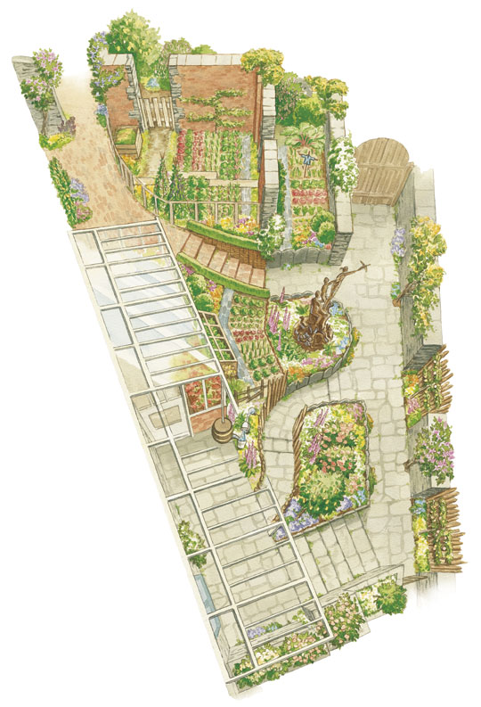
Peter Rabbit Garden at The World of Beatrix Potter (click here to view whole map)

Dent village (click here for full map)

Thurland Castle
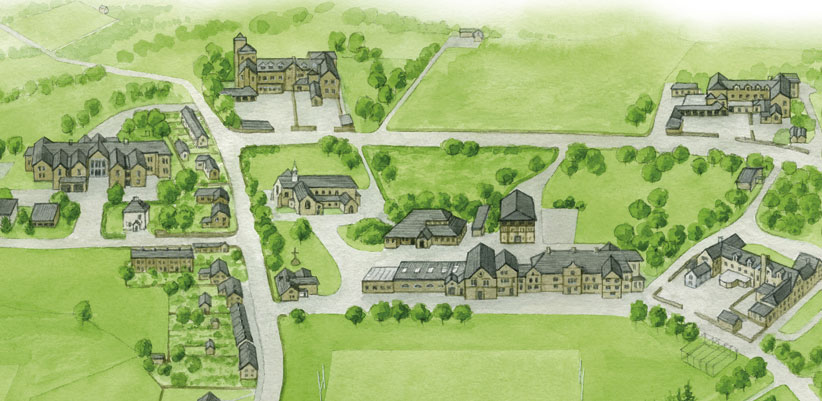
Sedbergh School (click here to view detail)
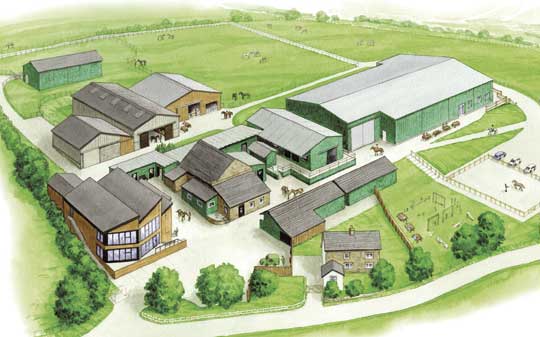
HAPPA (horse sanctuary) Lancashire

Lyth Valley for Cumbria Wildlife Trust (click here to view whole map)
3d oblique aerial illustrated maps
3d oblique aerial maps for historic sites, nature reserves, gardens and school campus sites.
These look down at a site from an angle, allowing better depiction of the 3 dimensional structure of the site and buildings.
Also particularly useful to illustrate changes to a site that haven't happened yet - eg renovations, a planned new building, garden, playground etc.
Better than drone aerial photos because:
- better, fresher colours
- no detail lost in shadows
- distances/positions of landscape elements can be altered to improve the image/communication
- landscape areas such as gardens can be made more impressive and clearer than they'd look in a photo
- elements that might obscure important details (eg trees) or undesirable elements (eg private areas) can be left off
"Evelyn created the illustrated map of Shores Hey Farm (HAPPA) for me, and it was a pleasure to work with her. She was very helpful, clear and professional, and all aspects of the job were done to the highest standard. I wouldn't hesitate to recommend Evelyn.”
Pete Berrisford, General Manager, HAPPA (Horse & Pony Protection Association)